Watershed Management
Wastewater and Water Resources
- Sewerage/water supply/drainage system
- Fault Detection in valves, pipes, hydrants data
- Control Data & Maintenance Records
- Lateral creation ( connectors, valves, and meters)
- Rotation angle, length and area measures
- Connectivity (from-node and to-node)
- Measure symbol rotation angle
- Isolation & pressure zone Tracing
- Valve & pressure zone selection
- Attribute tracing
- Terrain preprocessing, watershed delineation, and characteristics extraction
- Attribute accumulation
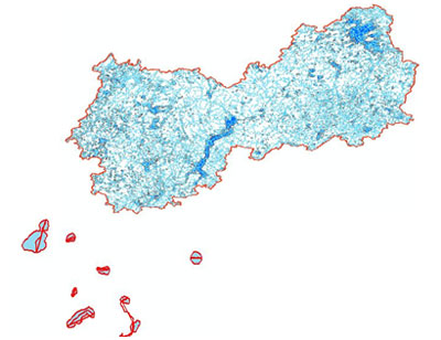
Watershed / Flood Management Maps
Inputs
- Topographical Maps, Satellite data, Statistical Data (Rainfall)
Creation & Analysis
- Preparation of Base Map
- Creation of Digital Elevation Models
- Creation of Thematic Maps from Tabular Data
Results
- Derivation of the Flooded area at different flood levels
- Watershed Management
- Preparation of Slope Map
- Delineation of Basin
- Derived Cultivable Command Area map
- Derivation of Land Irrigation Map
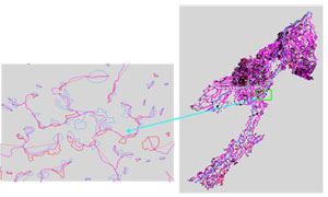
Hydro Network:
Hydro Network describes and models as network components, features of the surface-water system Two representations of the water supply can be conceptualized -a linear network that logically links all connected water bodies (hydrology) through their centerlines and a cartographic representation depicting the boundaries of various water bodies (Hydrography). A national standard being developed will comply with existing international standards and with new technologies. The program provides for the integration of water-related data into decision-making tools and systems. The content includes five key elements: the linear representation of Canada’s water supply, the traditional cartographic representation of the network, events (attribute information), toponymy, and metadata. The programs and standards are being developed by various federal and provincial government agencies
Sunram has experience in the preparation of Hydro Network data, which involves the capture of Hydrographic features as per the prescribed standards.